
Tonda topographic map
Interactive map
Click on the map to display elevation.
About this map
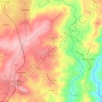
Name: Tonda topographic map, elevation, terrain.
Location: Tonda, Tondela, Viseu, Portugal (40.48261 -8.08399 40.51471 -8.02628)
Average elevation: 285 m
Minimum elevation: 148 m
Maximum elevation: 369 m