
Voorne topographic map
Interactive map
Click on the map to display elevation.
About this map
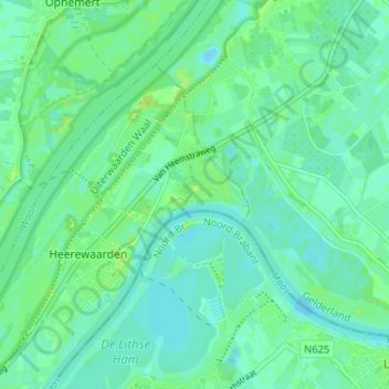
Name: Voorne topographic map, elevation, terrain.
Location: Voorne, Gelderland, Nederland, 6624, Nederland (51.80435 5.38718 51.84435 5.42718)
Average elevation: 5 m
Minimum elevation: -2 m
Maximum elevation: 13 m