
Bruzual topographic map
Interactive map
Click on the map to display elevation.
About this map
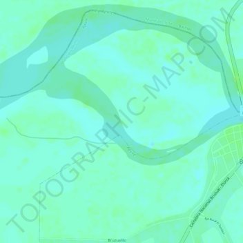
Name: Bruzual topographic map, elevation, terrain.
Average elevation: 81 m
Minimum elevation: 76 m
Maximum elevation: 86 m
Other topographic maps
Click on a map to view its topography, its elevation and its terrain.
Mantecal
Venezuela > Estado Apure > Municipio Muñoz
Mantecal, Parroquia Mantecal, Municipio Muñoz, Estado Apure, Venezuela
Average elevation: 79 m