
Aït Bouaddou topographic map
Interactive map
Click on the map to display elevation.
About this map
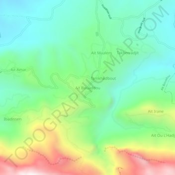
Name: Aït Bouaddou topographic map, elevation, terrain.
Location: Aït Bouaddou, Daïra Ouadhia, Tizi Ouzou, 15326, RADP (36.48953 4.04140 36.52953 4.08140)
Average elevation: 795 m
Minimum elevation: 448 m
Maximum elevation: 1,526 m