
Somerville topographic map
Interactive map
Click on the map to display elevation.
About this map
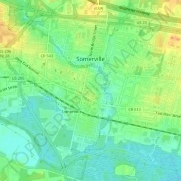
Name: Somerville topographic map, elevation, terrain.
Location: Somerville, Somerset County, New Jersey, United States (40.55609 -74.62638 40.58170 -74.58626)
Average elevation: 21 m
Minimum elevation: 7 m
Maximum elevation: 40 m
Other topographic maps
Click on a map to view its topography, its elevation and its terrain.