
Kasuga topographic map
Interactive map
Click on the map to display elevation.
About this map
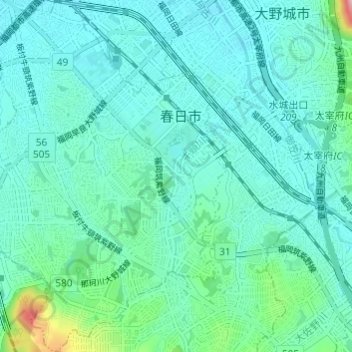
Name: Kasuga topographic map, elevation, terrain.
Location: Kasuga, Prefectura de Fukuoka, 九州地方, Japón (33.49869 130.43405 33.54912 130.47937)
Average elevation: 39 m
Minimum elevation: 10 m
Maximum elevation: 190 m
Other topographic maps
Click on a map to view its topography, its elevation and its terrain.