
Ban Kok Khao topographic map
Interactive map
Click on the map to display elevation.
About this map
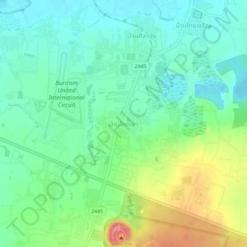
Name: Ban Kok Khao topographic map, elevation, terrain.
Location: Ban Kok Khao, Isan, Buri Ram Province, 31000, Thailand (14.93717 103.07430 14.97717 103.11430)
Average elevation: 182 m
Minimum elevation: 151 m
Maximum elevation: 252 m