
Årabrot topographic map
Interactive map
Click on the map to display elevation.
About this map
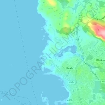
Name: Årabrot topographic map, elevation, terrain.
Location: Årabrot, Haugesund, Rogaland, 5515, Norway (59.42125 5.22557 59.46125 5.26557)
Average elevation: 16 m
Minimum elevation: -3 m
Maximum elevation: 142 m