
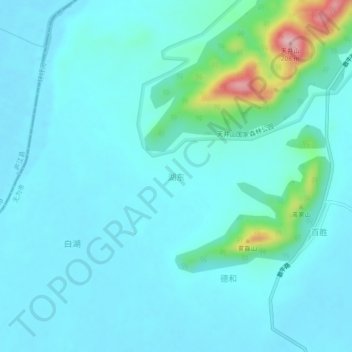
湖东 topographic map
Interactive map
Click on the map to display elevation.
About this map
Name: 湖东 topographic map, elevation, terrain.
Location: 湖东, 蜀山镇, Wuwei, Wuhu, Anhui, 238300, China (31.20302 117.55385 31.24302 117.59385)
Average elevation: 31 m
Minimum elevation: 3 m
Maximum elevation: 202 m