
Les Gagouts topographic map
Interactive map
Click on the map to display elevation.
About this map
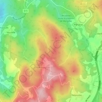
Name: Les Gagouts topographic map, elevation, terrain.
Average elevation: 452 m
Minimum elevation: 355 m
Maximum elevation: 546 m
Other topographic maps
Click on a map to view its topography, its elevation and its terrain.
Massauvas
France > Nouvelle-Aquitaine > Haute-Vienne > Compreignac > Massauvas
Massauvas, Compreignac, Bellac, Haute-Vienne, Nouvelle-Aquitaine, France métropolitaine, 87140, France
Average elevation: 448 m