
Hinterstoder topographic map
Interactive map
Click on the map to display elevation.
About this map
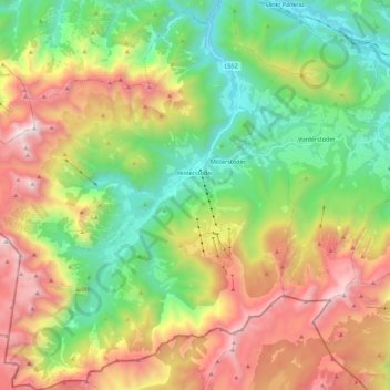
Name: Hinterstoder topographic map, elevation, terrain.
Location: Hinterstoder, Bezirk Kirchdorf, 4573, Austria (47.61590 14.01060 47.76613 14.21258)
Average elevation: 1,283 m
Minimum elevation: 485 m
Maximum elevation: 2,501 m