
Poissy topographic map
Interactive map
Click on the map to display elevation.
About this map
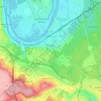
Name: Poissy topographic map, elevation, terrain.
Average elevation: 67 m
Minimum elevation: 17 m
Maximum elevation: 173 m
Other topographic maps
Click on a map to view its topography, its elevation and its terrain.
Versalhes
França > Ilha de França > Yvelines
Versalhes, Versailles, Yvelines, Ilha de França, França metropolitana, 78000, França
Average elevation: 142 m