
Añoza topographic map
Interactive map
Click on the map to display elevation.
About this map
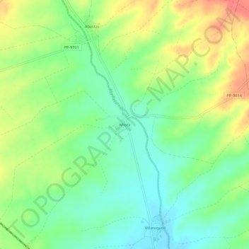
Name: Añoza topographic map, elevation, terrain.
Location: Añoza, Palencia, Castilla y León, 34307, España (42.20431 -4.80443 42.24431 -4.76443)
Average elevation: 805 m
Minimum elevation: 779 m
Maximum elevation: 842 m