
Westendorf topographic map
Interactive map
Click on the map to display elevation.
About this map
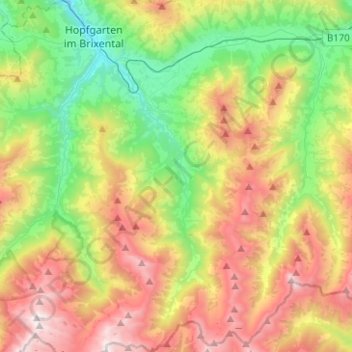
Name: Westendorf topographic map, elevation, terrain.
Location: Westendorf, Bezirk Kitzbühel, 6363, Austria (47.29846 12.16056 47.46775 12.27037)
Average elevation: 1,334 m
Minimum elevation: 575 m
Maximum elevation: 2,429 m