
Romsey topographic map
Interactive map
Click on the map to display elevation.
About this map
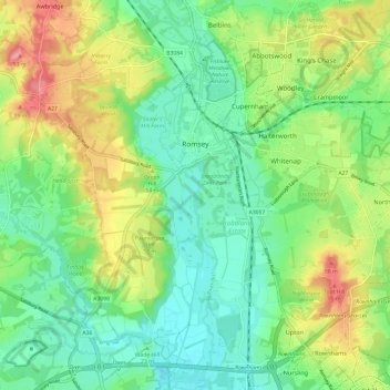
Name: Romsey topographic map, elevation, terrain.
Location: Romsey, Test Valley, Hampshire, England, United Kingdom (50.94126 -1.54610 51.01691 -1.44780)
Average elevation: 34 m
Minimum elevation: -2 m
Maximum elevation: 94 m
Other topographic maps
Click on a map to view its topography, its elevation and its terrain.
Thruxton
United Kingdom > England > Hampshire > Test Valley
Thruxton, Test Valley, Hampshire, England, United Kingdom
Average elevation: 111 m