
Heiselt topographic map
Interactive map
Click on the map to display elevation.
About this map
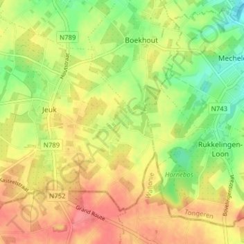
Name: Heiselt topographic map, elevation, terrain.
Location: Heiselt, Jeuk, Gingelom, Limburg, Vlaanderen, 4527, België (50.71228 5.20841 50.75228 5.24841)
Average elevation: 110 m
Minimum elevation: 76 m
Maximum elevation: 139 m