
Gornje Polje topographic map
Interactive map
Click on the map to display elevation.
About this map
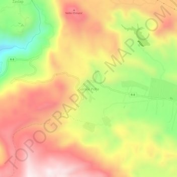
Name: Gornje Polje topographic map, elevation, terrain.
Location: Gornje Polje, Municipalité de Nikšić, Monténégro (42.63867 18.59502 42.67867 18.63502)
Average elevation: 876 m
Minimum elevation: 464 m
Maximum elevation: 1,210 m