
Kampung Jeram topographic map
Interactive map
Click on the map to display elevation.
About this map
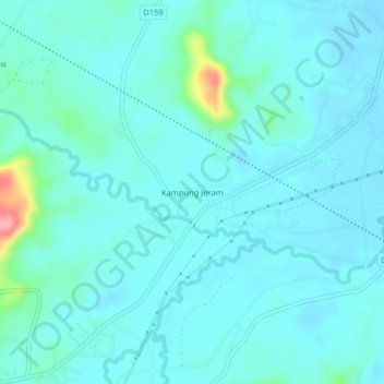
Name: Kampung Jeram topographic map, elevation, terrain.
Location: Kampung Jeram, Pasir Puteh, Kelantan, Malaysia (5.78018 102.34818 5.82018 102.38818)
Average elevation: 25 m
Minimum elevation: 10 m
Maximum elevation: 123 m