
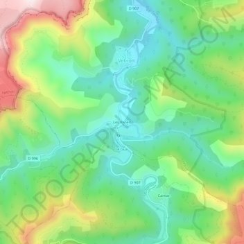
Les Vanels topographic map
Interactive map
Click on the map to display elevation.
About this map
Name: Les Vanels topographic map, elevation, terrain.
Average elevation: 813 m
Minimum elevation: 617 m
Maximum elevation: 1,196 m
Other topographic maps
Click on a map to view its topography, its elevation and its terrain.
Parc national des Cévennes (cœur)
France > Occitanie > Lozère > Vebron
Parc national des Cévennes (cœur), Vebron, Florac, Lozère, Occitanie, France métropolitaine, 48400, France
Average elevation: 757 m
Solpérière
France > Occitanie > Lozère > Vebron
Solpérière, Vebron, Florac, Lozère, Occitanie, France métropolitaine, 48400, France
Average elevation: 856 m
L'Hospitalet
France > Occitanie > Lozère > Vebron > L'Hospitalet
L'Hospitalet, Vebron, Florac, Lozère, Occitanie, France métropolitaine, 48400, France
Average elevation: 908 m