
Bena topographic map
Interactive map
Click on the map to display elevation.
About this map
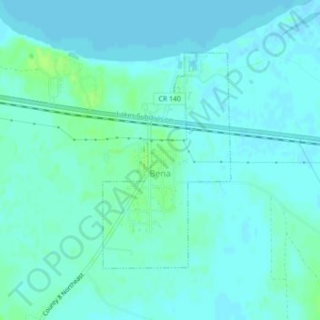
Name: Bena topographic map, elevation, terrain.
Location: Bena, Cass County, Minnesota, United States (47.33264 -94.21457 47.35086 -94.19861)
Average elevation: 398 m
Minimum elevation: 395 m
Maximum elevation: 407 m