
Eisdorf topographic map
Interactive map
Click on the map to display elevation.
About this map
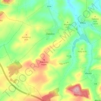
Name: Eisdorf topographic map, elevation, terrain.
Location: Eisdorf, Bezirk Käsmark, Slowakei (49.04352 20.35653 49.10078 20.41807)
Average elevation: 700 m
Minimum elevation: 633 m
Maximum elevation: 799 m