
Pillager topographic map
Interactive map
Click on the map to display elevation.
About this map
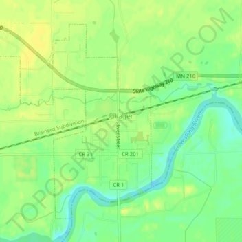
Name: Pillager topographic map, elevation, terrain.
Location: Pillager, Cass County, Minnesota, United States (46.31847 -94.49580 46.34023 -94.46928)
Average elevation: 368 m
Minimum elevation: 356 m
Maximum elevation: 375 m