
La Gi topographic map
Interactive map
Click on the map to display elevation.
About this map
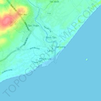
Name: La Gi topographic map, elevation, terrain.
Location: La Gi, Bình Thuận, Viêt Nam (10.61882 107.73312 10.69882 107.81312)
Average elevation: 8 m
Minimum elevation: 0 m
Maximum elevation: 68 m