Geolocate

Santa Fe topographic map

Click on the map to display elevation.

About this map

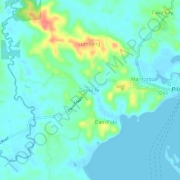
Name: Santa Fe topographic map, elevation, terrain.

Location: Santa Fe, Pilar, Sorsogon, Bicol Region, 3202, Philippines (12.90340 123.63534 12.94340 123.67534)

Average elevation: 13 m

Minimum elevation: -1 m

Maximum elevation: 63 m

Gear up for your next adventure:

🧺Fast-Dry Microfiber Towels - Large towels that pack down to the size of an orange
🧊Insulated Stainless Steel Flasks - Keep water cold for 24 hours in the heat or coffee hot in the cold
🎒Daypacks - Compact backpacks for short hikes
🌧️Rain Jackets - Waterproof jackets for hiking
🛰️Handheld GPS Units - Rugged GPS devices for tracking coordinates and elevation in the Australian bush

As an Amazon Associate, this site earns from qualifying purchases at no extra cost to you.