Geolocate

Mount Sunday topographic map

Click on the map to display elevation.

About this map

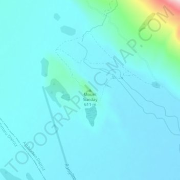
Name: Mount Sunday topographic map, elevation, terrain.

Location: Mount Sunday, Ashburton District, Canterbury, New Zealand (-43.54787 170.89284 -43.54777 170.89294)

Average elevation: 547 m

Minimum elevation: 509 m

Maximum elevation: 865 m

Gear up for your next adventure:

Altimeter Barometer Watches - Outdoor watches with built-in sensors to track altitude changes and weather shifts
🧊Insulated Cooler Bags - Keep food fresh for day trips to remote geographic sites
Ultralight Solo Tents - Compact shelters for multi-day topographic surveying expeditions
📕Hiking Guide Books - Guides for hiking trails
🔋Solar Power Banks - Charge your phone and GPS using the sun while deep in the bush

As an Amazon Associate, this site earns from qualifying purchases at no extra cost to you.