
Duror topographic map
Interactive map
Click on the map to display elevation.
About this map
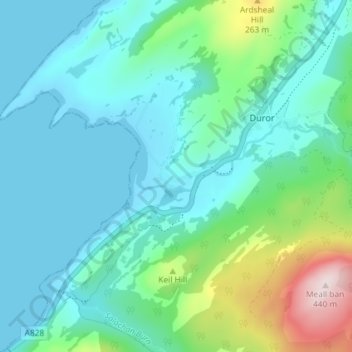
Name: Duror topographic map, elevation, terrain.
Location: Duror, Highland, Scotland, PA38 4DA, United Kingdom (56.62032 -5.31024 56.66032 -5.27024)
Average elevation: 85 m
Minimum elevation: -1 m
Maximum elevation: 432 m