
Huizen topographic map
Interactive map
Click on the map to display elevation.
About this map
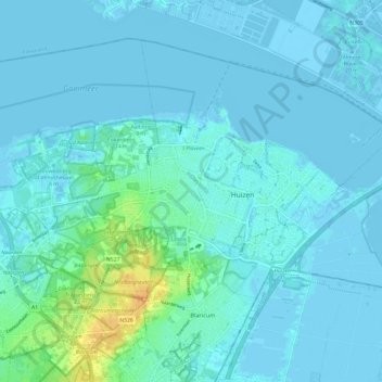
Name: Huizen topographic map, elevation, terrain.
Location: Huizen, Hollande-Septentrionale, Pays-Bas (52.26712 5.18470 52.32576 5.30546)
Average elevation: 3 m
Minimum elevation: -7 m
Maximum elevation: 31 m