
McAllaster topographic map
Interactive map
Click on the map to display elevation.
About this map
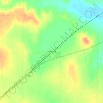
Name: McAllaster topographic map, elevation, terrain.
Location: McAllaster, Logan County, Kansas, VS (38.98612 -101.41155 39.02612 -101.37155)
Average elevation: 971 m
Minimum elevation: 945 m
Maximum elevation: 996 m