

Nyalam topographic map
Click on the map to display elevation.
Nyalam
The other town of the county is Zhangmu, also known by its Tibetan name Dram, or Nepali Khasa. It is located near the border and is the point of entry from Nepal. At "merely" 2,300 meters elevation about the sea level, Zhangmu has mild and humid subtropical climate, which is a rarity for Tibet.
About this map
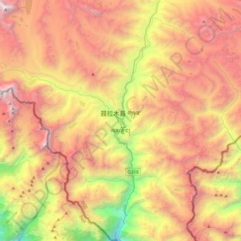
Name: Nyalam topographic map, elevation, terrain.
Location: Nyalam, Nyalam County, Shigatse Prefecture, Tibet, China (27.99894 85.81998 28.31894 86.13998)
Average elevation: 4,756 m
Minimum elevation: 2,403 m
Maximum elevation: 6,969 m