
Altar Khola topographic map
Interactive map
Click on the map to display elevation.
About this map
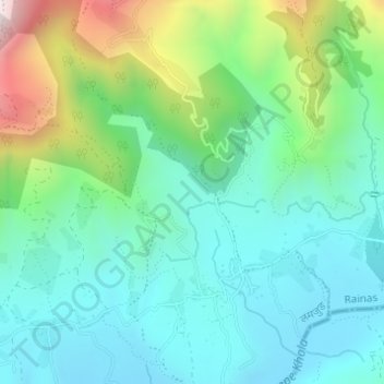
Name: Altar Khola topographic map, elevation, terrain.
Location: Altar Khola, Chakratirtha, Rainas, लमजुङ, गण्डकी प्रदेश, Népal (28.10102 84.50663 28.10630 84.51139)
Average elevation: 746 m
Minimum elevation: 540 m
Maximum elevation: 1,326 m