Geolocate

Bagacay topographic map

Click on the map to display elevation.

About this map
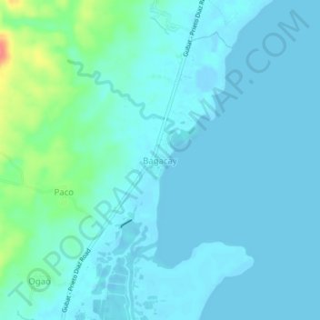
Name: Bagacay topographic map, elevation, terrain.

Location: Bagacay, Gubat, Sorsogon, Bicol Region, Philippines (12.96205 124.12150 13.00205 124.16150)

Average elevation: 9 m

Minimum elevation: -9 m

Maximum elevation: 64 m

Gear up for your next adventure:

🛰️Handheld GPS Units - Rugged GPS devices for tracking coordinates and elevation in the Australian bush
🧣Merino Neck Gaiters - Versatile headwear for warmth, sun protection, or dust filtering
⌚Altimeter Barometer Watches - Outdoor watches with built-in sensors to track altitude changes and weather shifts
🖼️Scratch-off Australia Map - Track the regions and peaks you have explored geographically
🧥Insulated Down Jackets - High warmth-to-weight ratio for cold nights in the high country

As an Amazon Associate, this site earns from qualifying purchases at no extra cost to you.