
Gähwil topographic map
Interactive map
Click on the map to display elevation.
About this map
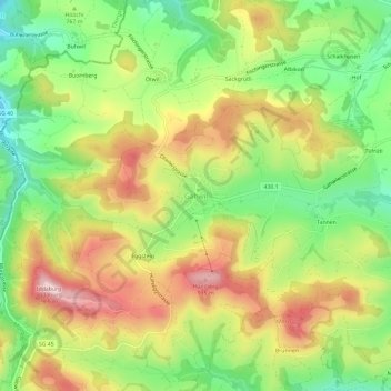
Name: Gähwil topographic map, elevation, terrain.
Location: Gähwil, Wahlkreis Toggenburg, Sankt Gallen, 9534, Schweiz (47.37767 8.98150 47.41767 9.02150)
Average elevation: 778 m
Minimum elevation: 637 m
Maximum elevation: 940 m