
Ness County topographic map
Interactive map
Click on the map to display elevation.
About this map
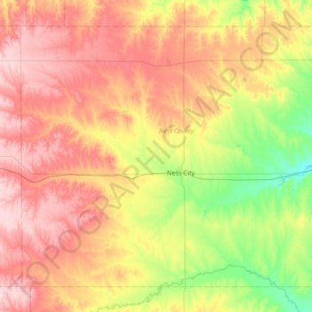
Name: Ness County topographic map, elevation, terrain.
Location: Ness County, Kansas, Verenigde Staten van Amerika (38.26141 -100.24808 38.69756 -99.58466)
Average elevation: 731 m
Minimum elevation: 642 m
Maximum elevation: 829 m