
Busumba-Busuleta topographic map
Interactive map
Click on the map to display elevation.
About this map
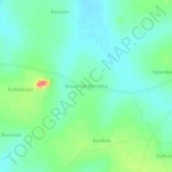
Name: Busumba-Busuleta topographic map, elevation, terrain.
Location: Busumba-Busuleta, Buyende, Eastern Region, Uganda (1.10816 33.28454 1.14816 33.32454)
Average elevation: 1,068 m
Minimum elevation: 1,044 m
Maximum elevation: 1,134 m
Other topographic maps
Click on a map to view its topography, its elevation and its terrain.