
Gembes topographic map
Interactive map
Click on the map to display elevation.
About this map
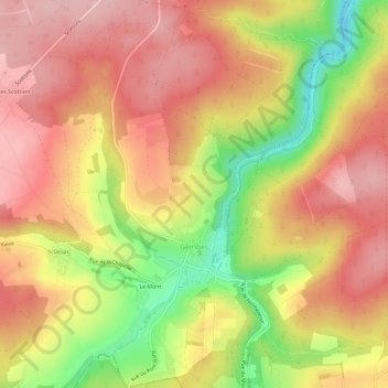
Name: Gembes topographic map, elevation, terrain.
Location: Gembes, Daverdisse, Neufchâteau, Luxemburg, Wallonië, België (49.98337 5.04861 50.02130 5.08860)
Average elevation: 366 m
Minimum elevation: 256 m
Maximum elevation: 437 m