
张家口市 topographic map
Interactive map
Click on the map to display elevation.
About this map
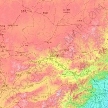
Name: 张家口市 topographic map, elevation, terrain.
Location: 张家口市, Hebei, China (39.55116 113.81246 42.14716 116.45931)
Average elevation: 1,131 m
Minimum elevation: 8 m
Maximum elevation: 2,748 m
Other topographic maps
Click on a map to view its topography, its elevation and its terrain.