
Guari topographic map
Interactive map
Click on the map to display elevation.
About this map
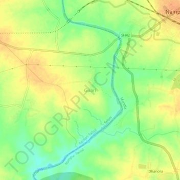
Name: Guari topographic map, elevation, terrain.
Location: Guari, Keolari Tahsil, Seoni District, Madhya Pradesh, Índia (22.39193 80.06556 22.43193 80.10556)
Average elevation: 433 m
Minimum elevation: 413 m
Maximum elevation: 447 m