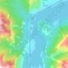
Ghost Lake topographic map
Click on the map to display elevation.
About this map
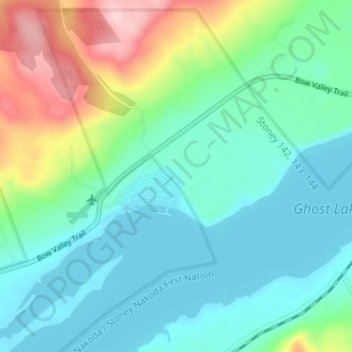
Name: Ghost Lake topographic map, elevation, terrain.
Location: Ghost Lake, Division No. 15, Alberta, Canada (51.18798 -114.77853 51.22798 -114.73853)
Average elevation: 1,241 m
Minimum elevation: 1,189 m
Maximum elevation: 1,395 m
Other topographic maps
Click on a map to view its topography, its elevation and its terrain.
Etherington Creek Provincial Recreation Area
Canada > Alberta > Division No. 15
Average elevation: 1,749 m

Johnston Creek
Canada > Alberta > Division No. 15
Johnston Creek originates north of Castle Mountain in a glacial valley southwest of Badger Pass and south of Pulsatilla Pass, at an elevation of 2,500 meters (8,200 ft). The creek flows southeast between Helena Ridge and the Sawback Range, and then south through a gorge known as Johnston Canyon. The stream…
Average elevation: 2,126 m