
鲅鱼圈区 topographic map
Interactive map
Click on the map to display elevation.
About this map
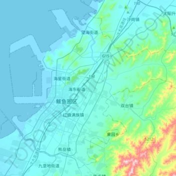
Name: 鲅鱼圈区 topographic map, elevation, terrain.
Location: 鲅鱼圈区, 营口市, 辽宁省, 115000, 中国 (40.14892 122.03682 40.36543 122.35101)
Average elevation: 60 m
Minimum elevation: -5 m
Maximum elevation: 584 m
Other topographic maps
Click on a map to view its topography, its elevation and its terrain.