
Lavra topographic map
Interactive map
Click on the map to display elevation.
About this map
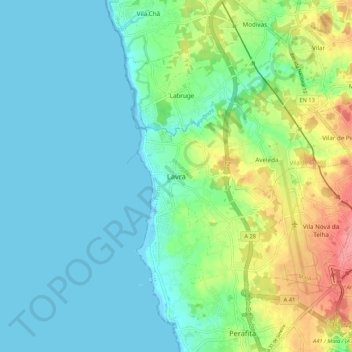
Name: Lavra topographic map, elevation, terrain.
Location: Lavra, Matosiños, Oporto, 4455-039, Portugal (41.21948 -8.75690 41.29948 -8.67690)
Average elevation: 23 m
Minimum elevation: 0 m
Maximum elevation: 88 m
Other topographic maps
Click on a map to view its topography, its elevation and its terrain.