
Gerje topographic map
Interactive map
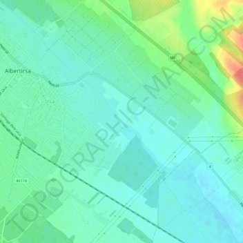
Click on the map to display elevation.
About this map
Name: Gerje topographic map, elevation, terrain.
Average elevation: 128 m
Minimum elevation: 114 m
Maximum elevation: 169 m
Other topographic maps
Click on a map to view its topography, its elevation and its terrain.
Gerje
Gerje, Albertirsa, Ceglédi járás, Pest megye, Közép-Magyarország, 2730, Hongarije
Average elevation: 135 m