Geolocate

Bon Dialgam topographic map

Click on the map to display elevation.

About this map
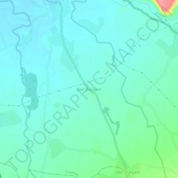
Name: Bon Dialgam topographic map, elevation, terrain.

Location: Bon Dialgam, Anantnag, Jammu and Kashmir, 192210, India (33.68042 75.13855 33.72042 75.17855)

Average elevation: 1,615 m

Minimum elevation: 1,597 m

Maximum elevation: 1,701 m

Gear up for your next adventure:

🕯️Emergency Whistles - Safety whistles for hiking
🧤Thermal Hiking Gloves - Keep your hands warm and functional during high-altitude winter treks
⌚GPS Watches - GPS watches for outdoor sports
🔋Solar Power Banks - Solar chargers for outdoors
🐍Snake Gaiters - Protection against snake bites

As an Amazon Associate, this site earns from qualifying purchases at no extra cost to you.