Geolocate

Cairo topographic map

Click on the map to display elevation.

About this map

Name: Cairo topographic map, elevation, terrain.

Location: Cairo, Tampa, Hillsborough County, Florida, 33602, United States (27.93320 -82.46860 27.97320 -82.42860)

Average elevation: 10 m

Minimum elevation: -6 m

Maximum elevation: 37 m

Other topographic maps

Click on a map to view its topography, its elevation and its terrain.
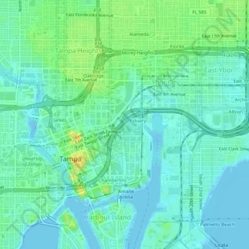
Carrollwood

United States > Florida > Hillsborough County > Tampa

Carrollwood is located at 28.1 degrees north, 82.5 degrees west (28.0523, -82.4858). The elevation for the community is 39 feet (12 m) above sea level.

Average elevation: 16 m

Gear up for your next adventure:

📡Weather Radios - Emergency weather radios
🌬️Windbreaker Jackets - Wind protection jackets
📟Satellite Messengers - Two-way satellite communication to stay in touch beyond the cellular grid
🛰️Handheld GPS Units - Rugged GPS devices for tracking coordinates and elevation in the Australian bush
Lightweight Tents - Compact tents for backpacking

As an Amazon Associate, this site earns from qualifying purchases at no extra cost to you.