
Sauboires topographic map
Interactive map
Click on the map to display elevation.
About this map
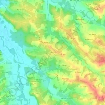
Name: Sauboires topographic map, elevation, terrain.
Average elevation: 138 m
Minimum elevation: 107 m
Maximum elevation: 180 m
Other topographic maps
Click on a map to view its topography, its elevation and its terrain.
A l'Enclos
France > Occitanie > Gers > Manciet
A l'Enclos, Manciet, Condom, Gers, Occitanie, France métropolitaine, 32370, France
Average elevation: 143 m