
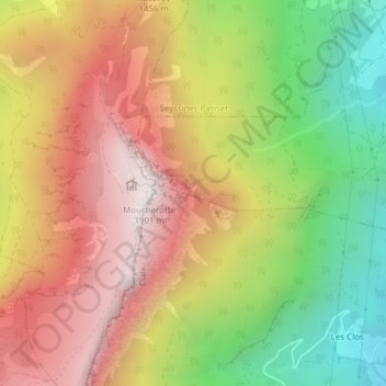
Grotte Vallier topographic map
Interactive map
Click on the map to display elevation.
About this map
Name: Grotte Vallier topographic map, elevation, terrain.
Average elevation: 1,239 m
Minimum elevation: 531 m
Maximum elevation: 1,889 m
Other topographic maps
Click on a map to view its topography, its elevation and its terrain.
Cossey
France > Auvergne-Rhône-Alpes > Claix > Cossey
Cossey, Claix, Grenoble, Isère, Auvergne-Rhône-Alpes, France métropolitaine, 38640, France
Average elevation: 554 m