
Hadley topographic map
Interactive map
Click on the map to display elevation.
About this map
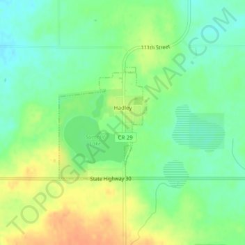
Name: Hadley topographic map, elevation, terrain.
Location: Hadley, Murray County, Minnesota, United States (43.99320 -95.86369 44.00549 -95.85025)
Average elevation: 515 m
Minimum elevation: 498 m
Maximum elevation: 535 m
Other topographic maps
Click on a map to view its topography, its elevation and its terrain.
Currie
United States > Minnesota > Murray County
Currie, Murray County, Minnesota, United States
Average elevation: 461 m