
Cam River topographic map
Interactive map
Click on the map to display elevation.
About this map
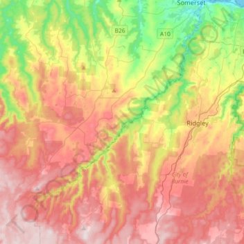
Name: Cam River topographic map, elevation, terrain.
Location: Cam River, Yolla, City of Burnie, Tasmania, Australia (-41.25567 145.61397 -41.03888 145.84033)
Average elevation: 280 m
Minimum elevation: 0 m
Maximum elevation: 544 m
Tasmania trails, hiking, mountain biking, running and outdoor activities