
Örebro topographic map
Interactive map
Click on the map to display elevation.
About this map
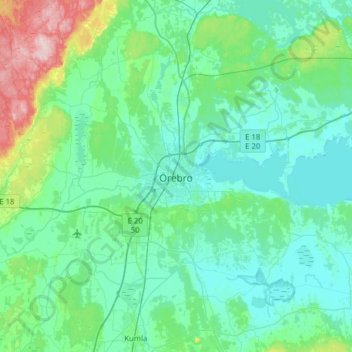
Name: Örebro topographic map, elevation, terrain.
Location: Örebro, Örebro kommun, Provinz Örebro, 703 61, Schweden (59.11473 15.05512 59.43473 15.37512)
Average elevation: 59 m
Minimum elevation: 19 m
Maximum elevation: 294 m