
龙山镇 topographic map
Interactive map
Click on the map to display elevation.
About this map
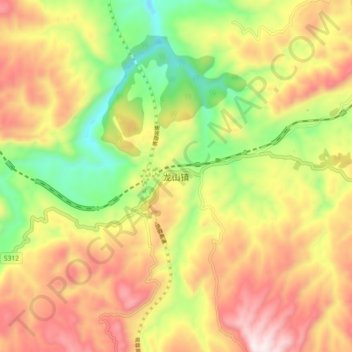
Name: 龙山镇 topographic map, elevation, terrain.
Location: 龙山镇, 古蔺县, 泸州市, 四川省, 中国 (27.93282 105.89617 28.01282 105.97617)
Average elevation: 882 m
Minimum elevation: 505 m
Maximum elevation: 1,261 m
Other topographic maps
Click on a map to view its topography, its elevation and its terrain.