
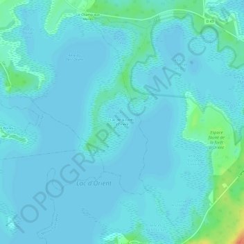
Lac de la Forêt d'Orient topographic map
Interactive map
Click on the map to display elevation.
About this map
Name: Lac de la Forêt d'Orient topographic map, elevation, terrain.
Average elevation: 136 m
Minimum elevation: 131 m
Maximum elevation: 173 m
Other topographic maps
Click on a map to view its topography, its elevation and its terrain.
Rue du Roi
France > Grand Est > Aube > Géraudot
Rue du Roi, Géraudot, Troyes, Aube, Grand Est, France métropolitaine, 10220, France
Average elevation: 134 m